基于RS与GIS的近代黄河三角洲丹顶鹤生境分析
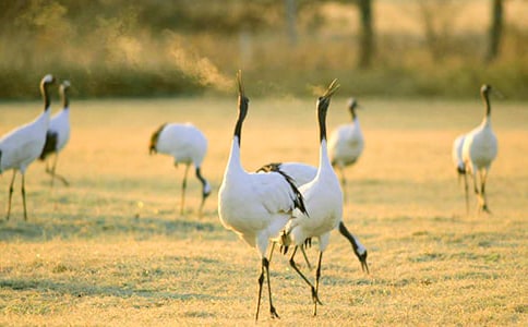
摘要: 以近代黄河三角洲3期TM遥感影像(1986年,1996年,2001年)及研究区1980年的地形图为基础数据,应用RS与GIS技术,结合野外调查,采用空间多样性指数(S_d)对1986-2001年近代黄河三角洲丹顶鹤生境适宜性的时空变化进行了分析.依据S_d值的高低与丹顶鹤生境的相关性我们将S_d分为4类:低值区(0,0.25]、中低值区(0.25,0.50]、中高值区(0.50,0.65]、高值区(0.65,1.00],值越高,生境质量愈高,适宜程度亦愈高.结果表明:从1986-2001年近代黄河三角洲丹顶鹤生境的破碎化程度加深,生境连通性降低,适宜性下降.不适宜生境(S_d≤0.5)的区域面积比重呈现出增加的趋势:从1986年的65.11%增加到1996年的70.79%,又增加到2001年的77.06%;S_d>0.5的区域面积比重呈现出明显的下降趋势:1986年,1996年和2001年的面积比重分别为34.9%,28.2%,22.93%. Abstract: Based on TM imagery, topographic maps and field investigation, the habitat pattern of redcrowned cranes in the Modern Yellow River Delta was analyzed with RS and GIS. Spatial diversity index (S_d) was applied to describe the temporal and spatial variation between 1986 and 2001 in the process. According to the relativity between the Red-crowned Crane habitat and spatial diversity index, we divided S_d into four categories as follows: low value(0,0.25], mid-low value (0. 25,0. 50], mid-high value (0.50,0.65] and high value (0.65,1.00]. A higher value indicates better habitat quality and suitability. The results showed that the fragmentation of the Red-crowned Crane habitat increased while the connectivity and suitability of the habitat decreased with time between 1986 and 2001 in the Yellow River Delta. The area of unsuitable habitat (S_d≤0. 5) gradually enlarged, which accounted for 65.11%, 70.79% and 77.06% in 1986, 1996 and 2001 respectively. The area with high or mid-high S_d values (S_d>0. 5), which occupied 34.9%(1986), 28.2%(1996) and 22.93%(2001), showed an obvious decreasing trend. 作 者: 李祥 郭笃发 张宝雷 蒋红花 LI Xiang GUO Du-fa ZHANG Bao-lei JIANG Hong-hua 作者单位: 李祥,郭笃发,张宝雷,LI Xiang,GUO Du-fa,ZHANG Bao-lei(山东师范大学,人口・资源与环境学院,济南,250014)蒋红花,JIANG Hong-hua(山东师范大学,科研处,济南,250014)
【基于RS与GIS的近代黄河三角洲丹顶鹤生境分析】相关文章:
基于学情分析的教学设计(精选10篇)11-17
丹顶鹤作文08-28
丹顶鹤作文(精华)11-09
美丽的丹顶鹤教案03-31
参观丹顶鹤作文05-18
基于语料库的大学生英语作文错误分析05-23
《美丽的丹顶鹤》教学反思04-03
美丽的丹顶鹤教学反思04-13